By European Space Agency (ESA)October 11, 2022
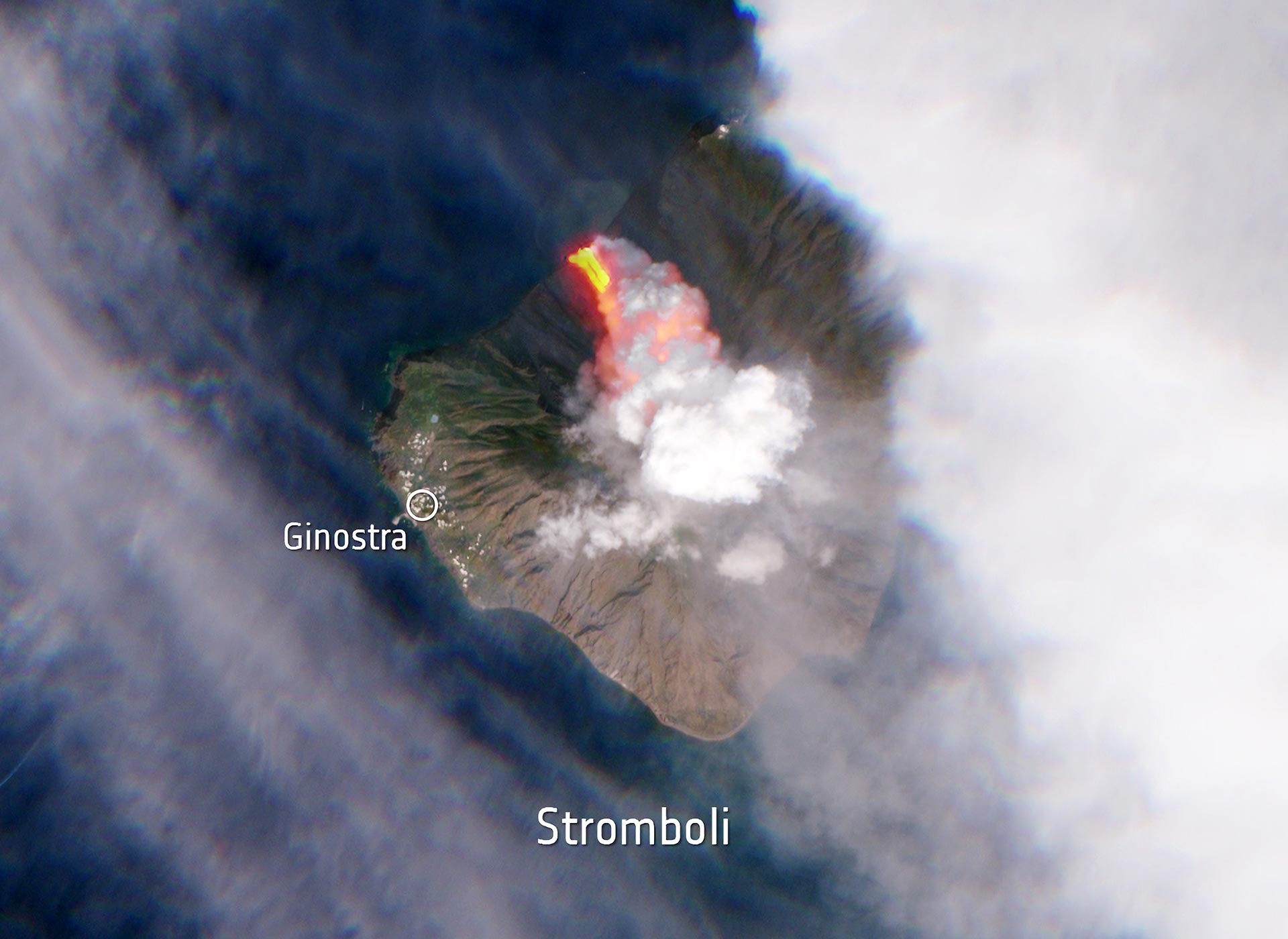
This Sentinel-2 image has been processed in true color, using the shortwave infrared channel to highlight the new flow of lava. The northernmost island of the Aeolian archipelago, located just off the northern tip of Sicily, Stromboli’s volcano has been erupting almost continuously for the past 90 years. Credit: Contains modified Copernicus Sentinel data (2022), processed by ESA, CC BY-SA 3.0 IGO
Early on Sunday morning, a volcano on the Italian island of Stromboli erupted, releasing huge plumes of smoke and a lava flow pouring into the sea. Less than five hours after the eruption, the Copernicus Sentinel-2 mission captured this satellite image of the aftermath.
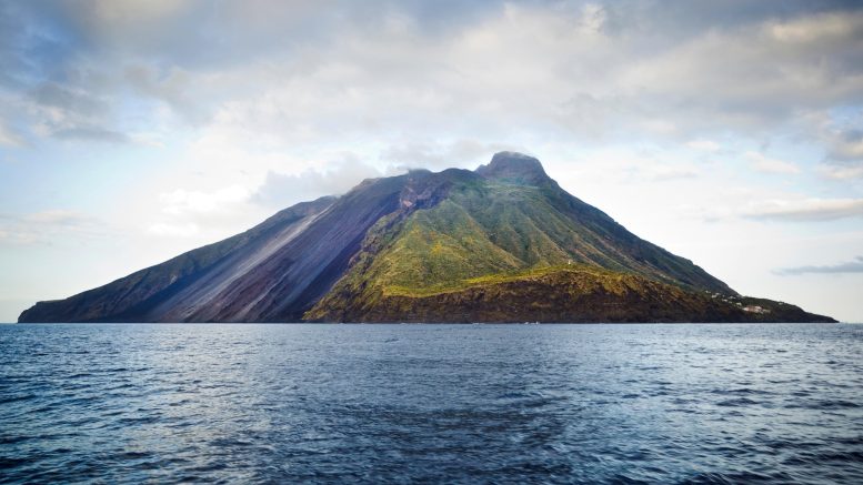
Off Sicily’s northern coast, in the Tyrrhenian Sea, sits the island of Stromboli. It is home to Mount Stromboli, one of Italy’s four active volcanoes. Mount Stromboli has been in almost continuous eruption for the past 2,000–5,000 years, with its last serious one occurring in 1921.
The eruption caused the partial collapse of the crater terrace. This was followed by major flows of lava stretching to the sea and immense plumes of smoke rising several hundred meters above the volcano. Italian civil protection authorities raised the alert from yellow to orange as the ‘situation of enhanced volcano imbalance persists.’
This Sentinel-2 image (above) has been processed in true color, using the shortwave infrared channel to highlight the new flow of lava. Sentinel-2 is based on a constellation of two identical satellites, each carrying an innovative wide swath high-resolution multispectral imager with 13 spectral bands for monitoring changes in Earth’s land and vegetation.
Stromboli is an island in the Tyrrhenian Sea, off the north coast of Sicily. It contains Mount Stromboli, one of the four active volcanoes in Italy.
The northernmost island of the Aeolian archipelago, located just off the northern tip of Sicily, Stromboli’s volcano has been erupting almost continuously for the past 90 years.


