


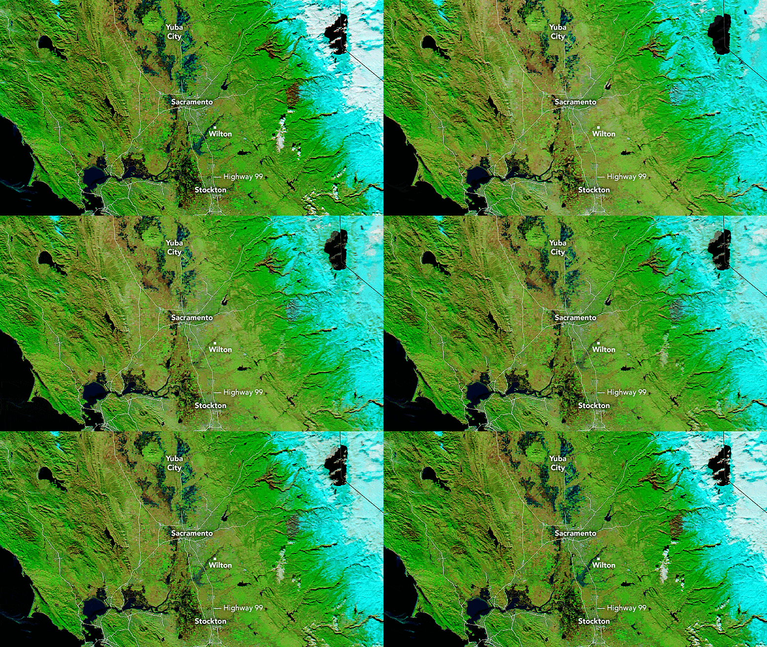

Image of central and northern California captured on January 1, 2023, by the Moderate Resolution Imaging Spectroradiometer (MODIS) on NASA’s Aqua satellite after heavy rain hit the area.

Image of central and northern California captured on December 16, 2022, by the Moderate Resolution Imaging Spectroradiometer (MODIS) on NASA’s Aqua satellite before the heavy rain hit the area.
Heavy rain and levee breaches triggered flooding in parts of Sacramento and the Bay Area.
On New Year’s Eve 2022, heavy rain hit parts of central and northern California, flooding communities near San Francisco and Sacramento. Water breached levees along the Cosumnes River near Wilton, California, flooding numerous roads including Highway 99—a major thoroughfare in the Central Valley. Wilton and other nearby farming communities were issued evacuation orders.
The Bay Area National Weather Service measured 5.5 inches (14 centimeters) of rain in downtown San Francisco on December 31, 2022, the second wettest day in more than 170 years of record-keeping. This daily total is about half of the city’s expected rainfall for the entire month of December. Toward the northeast in Sacramento County, some areas recorded up to 4 inches (10 centimeters) of rain within 24 hours, according to the National Weather Service.
The flooding that ensued is visible in the false-color image (right) acquired on January 1, 2023, with the Moderate Resolution Imaging Spectroradiometer (MODIS) on
January 1, 2023